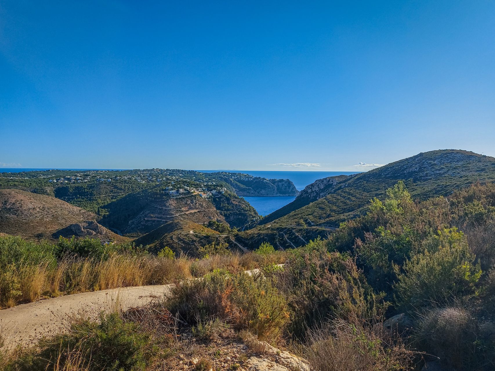
El Cap d'Or Tower Walk (SL-CV 51):
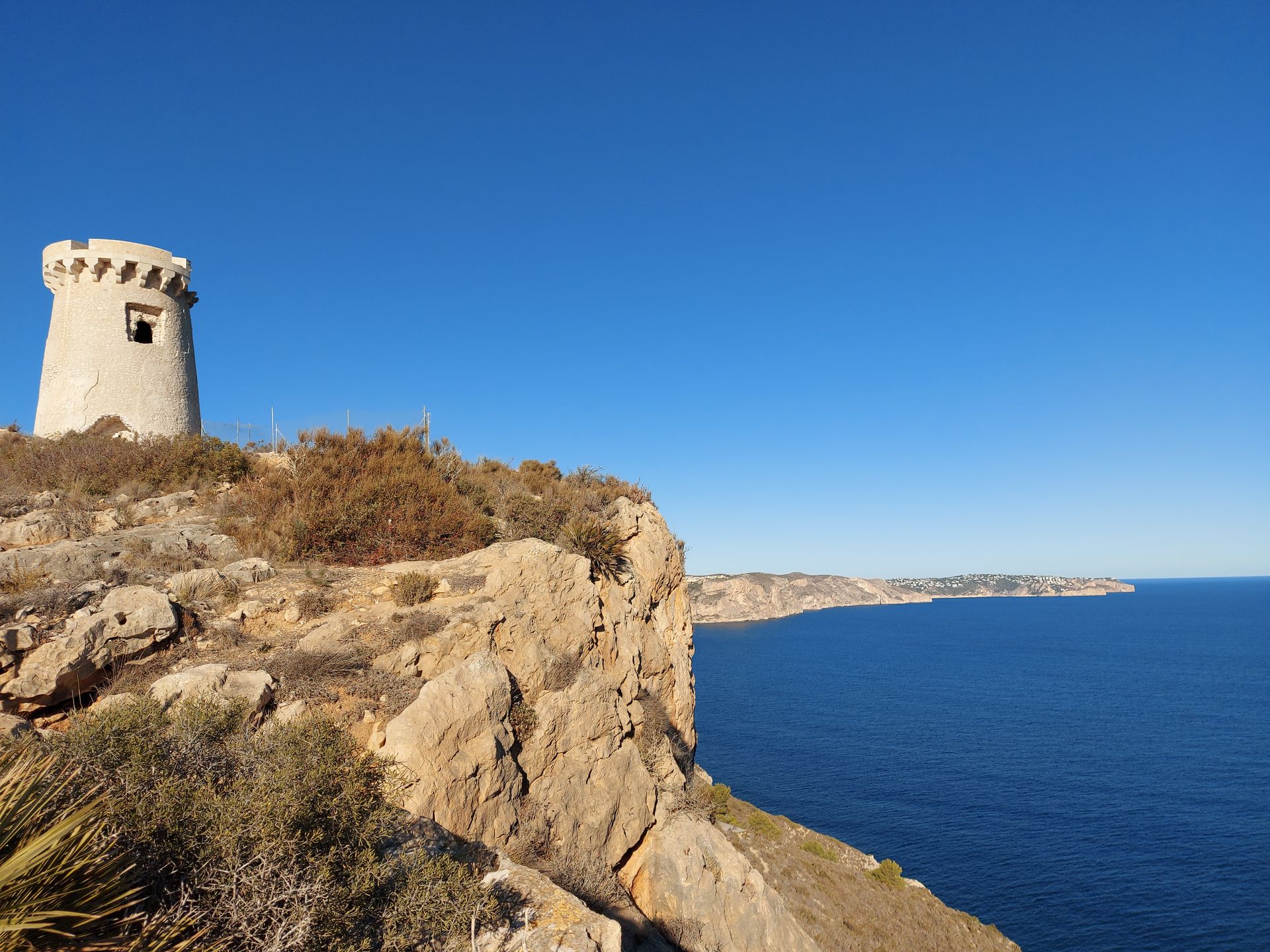
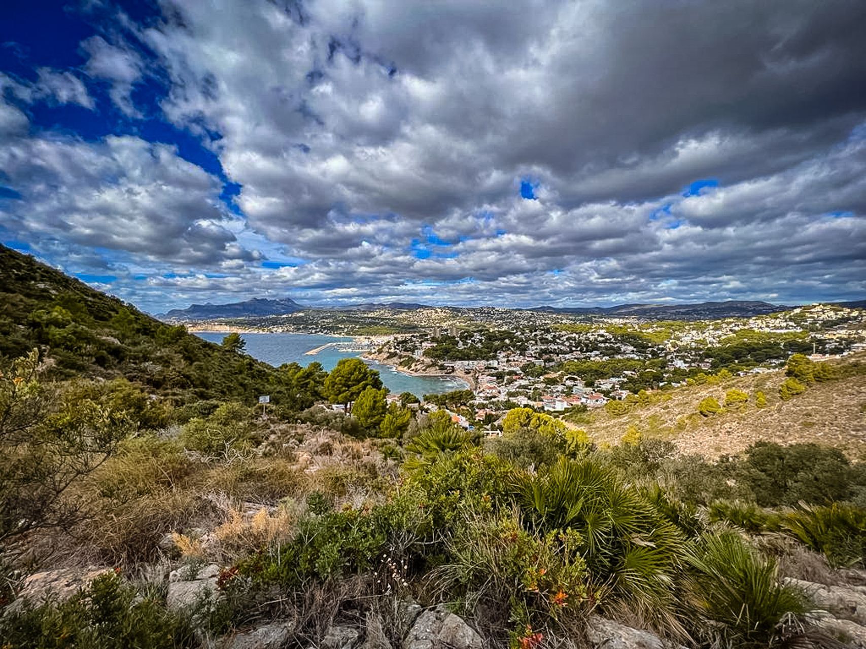
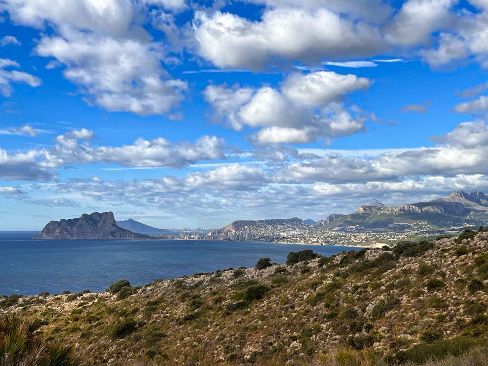
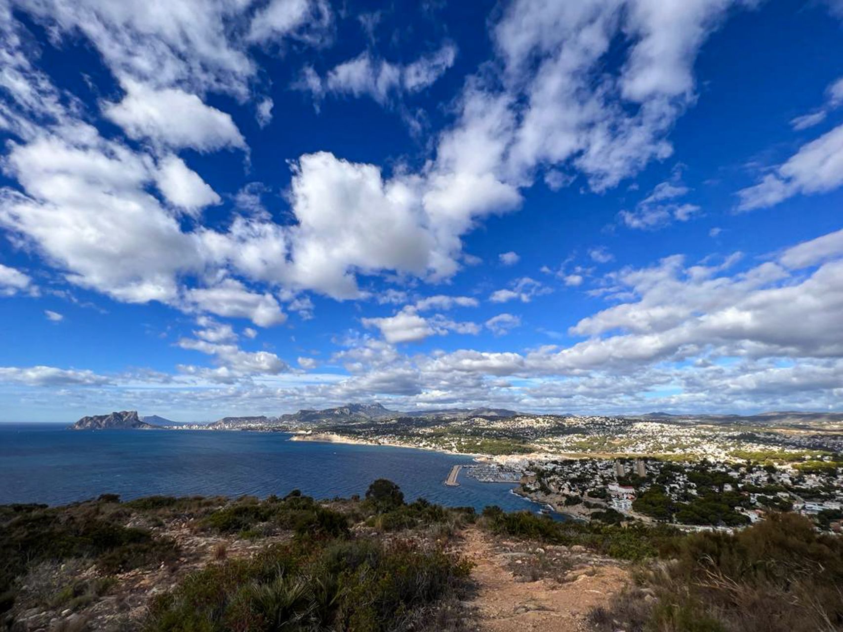
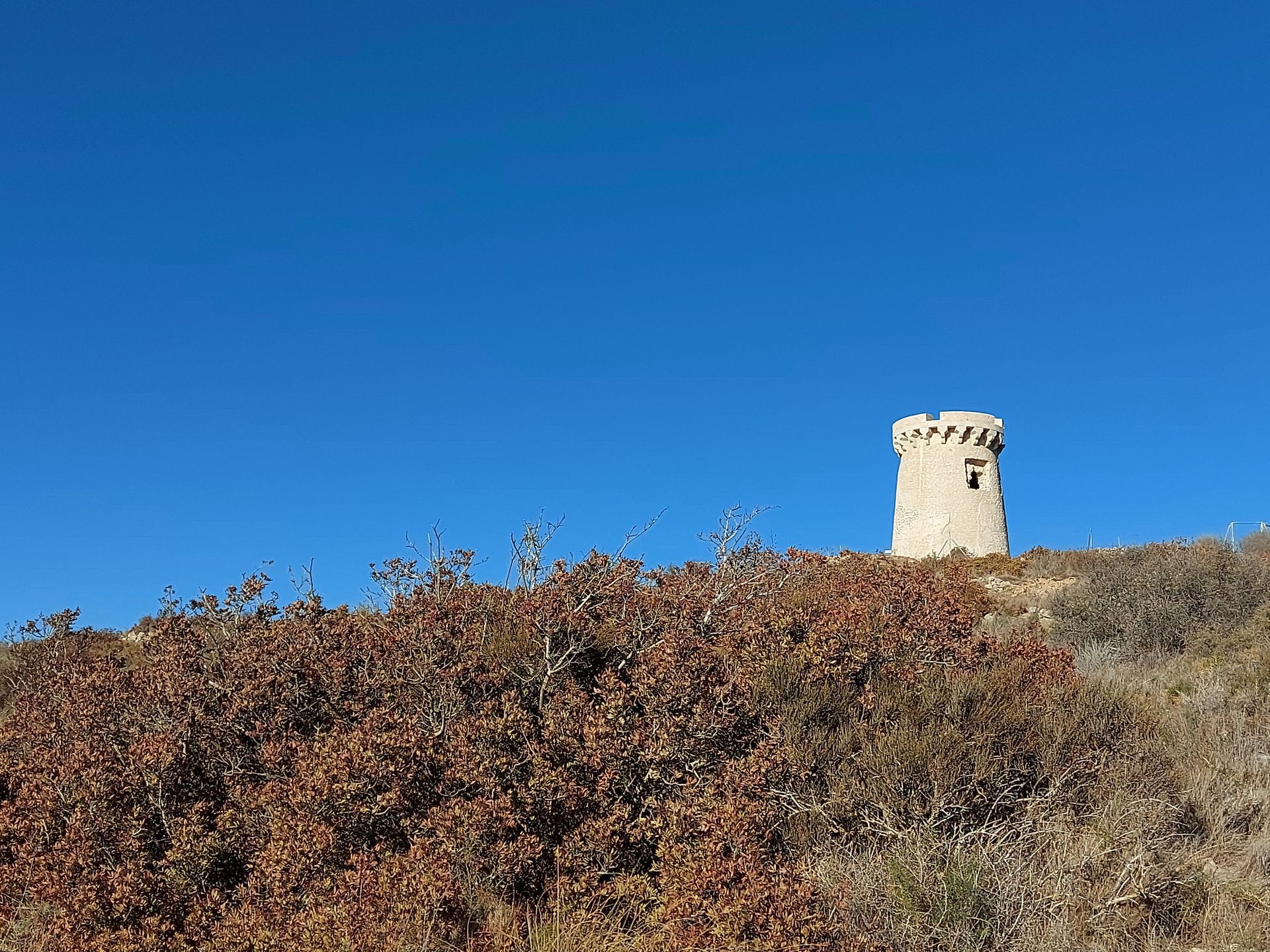
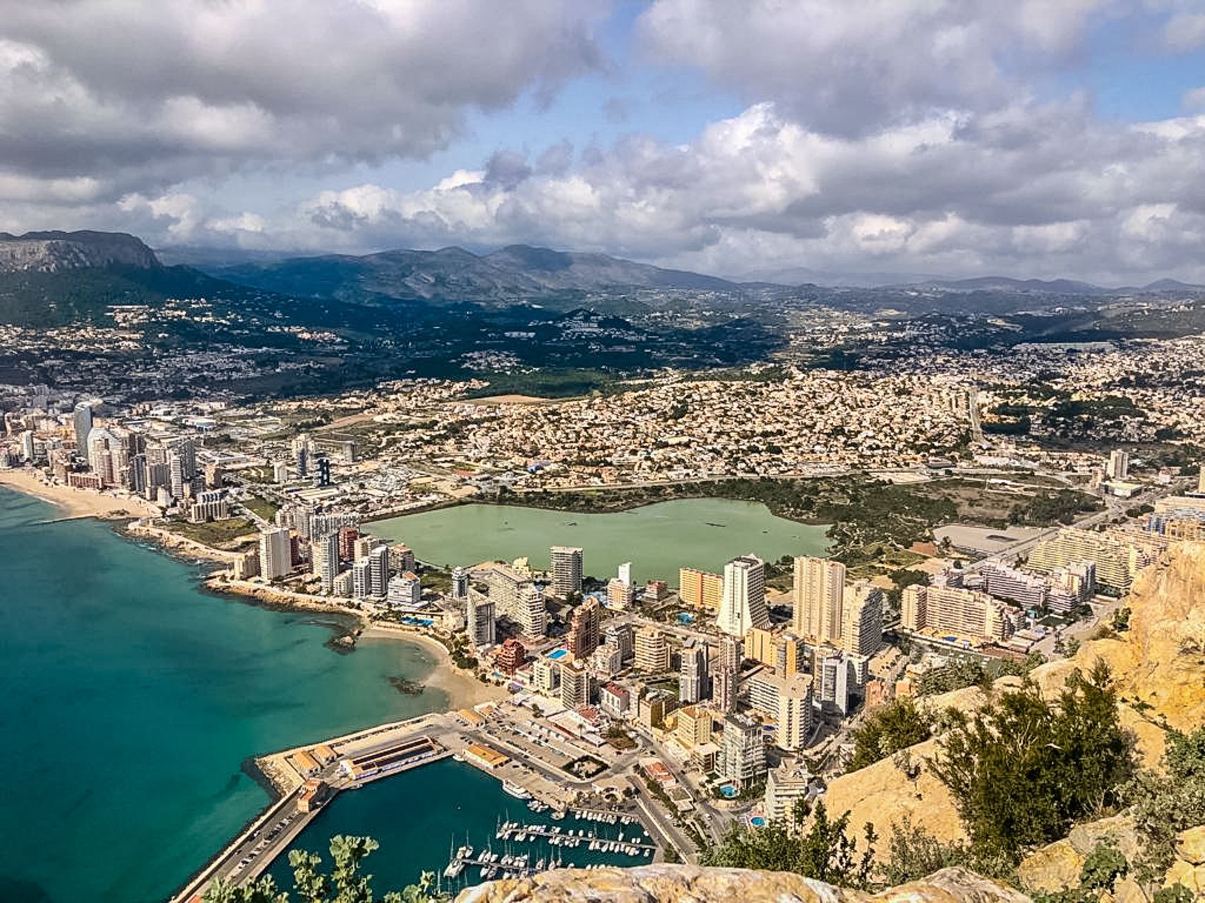
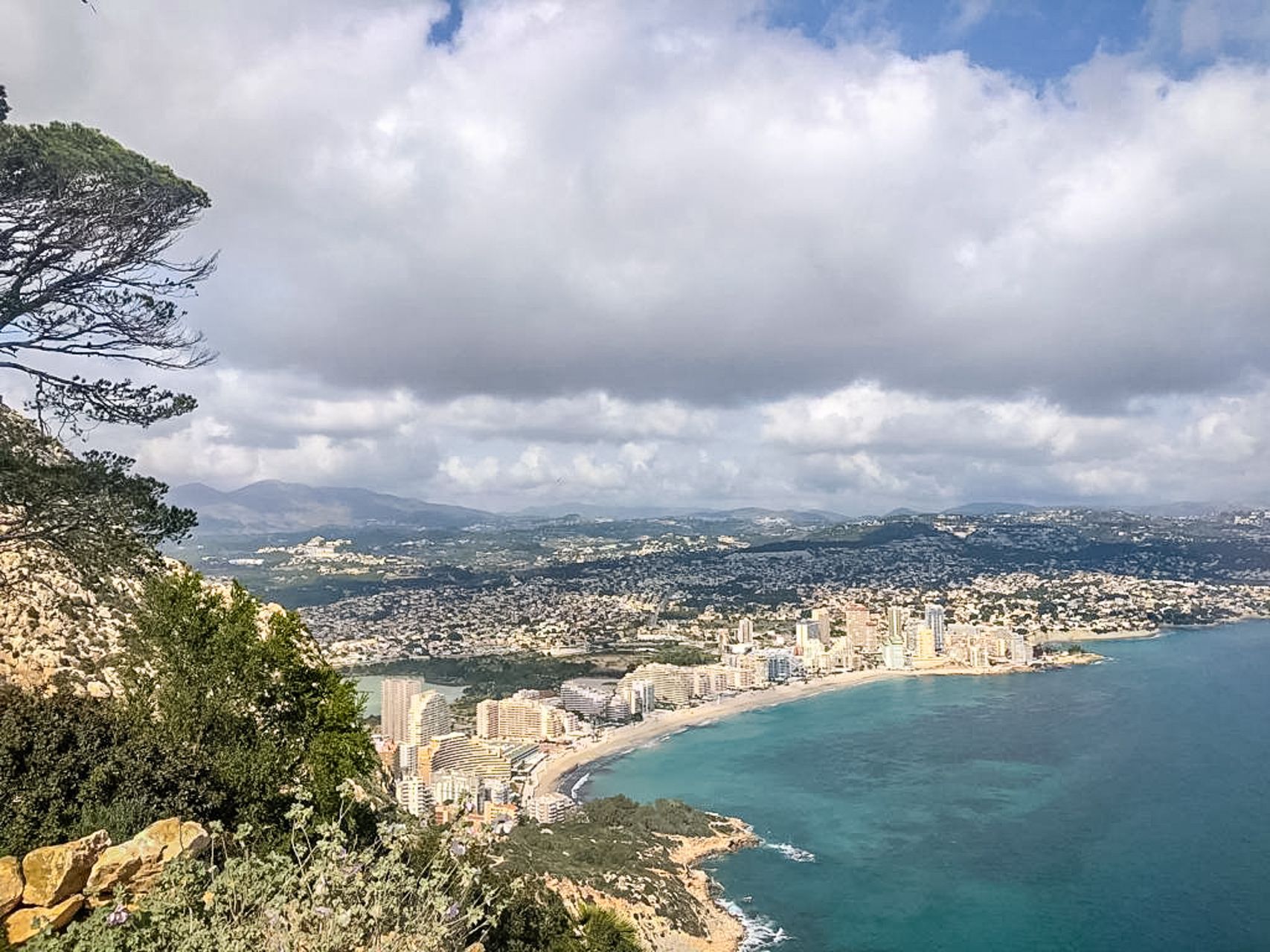
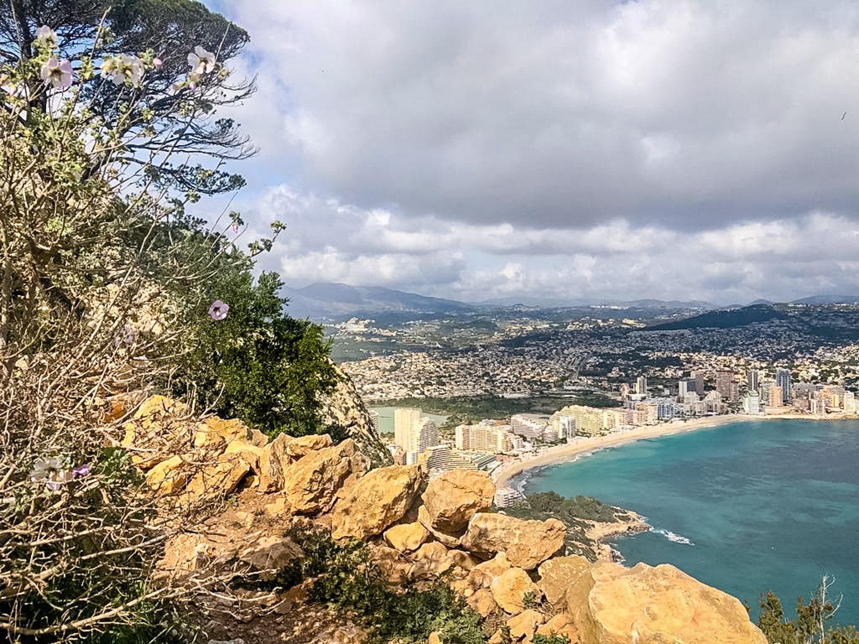
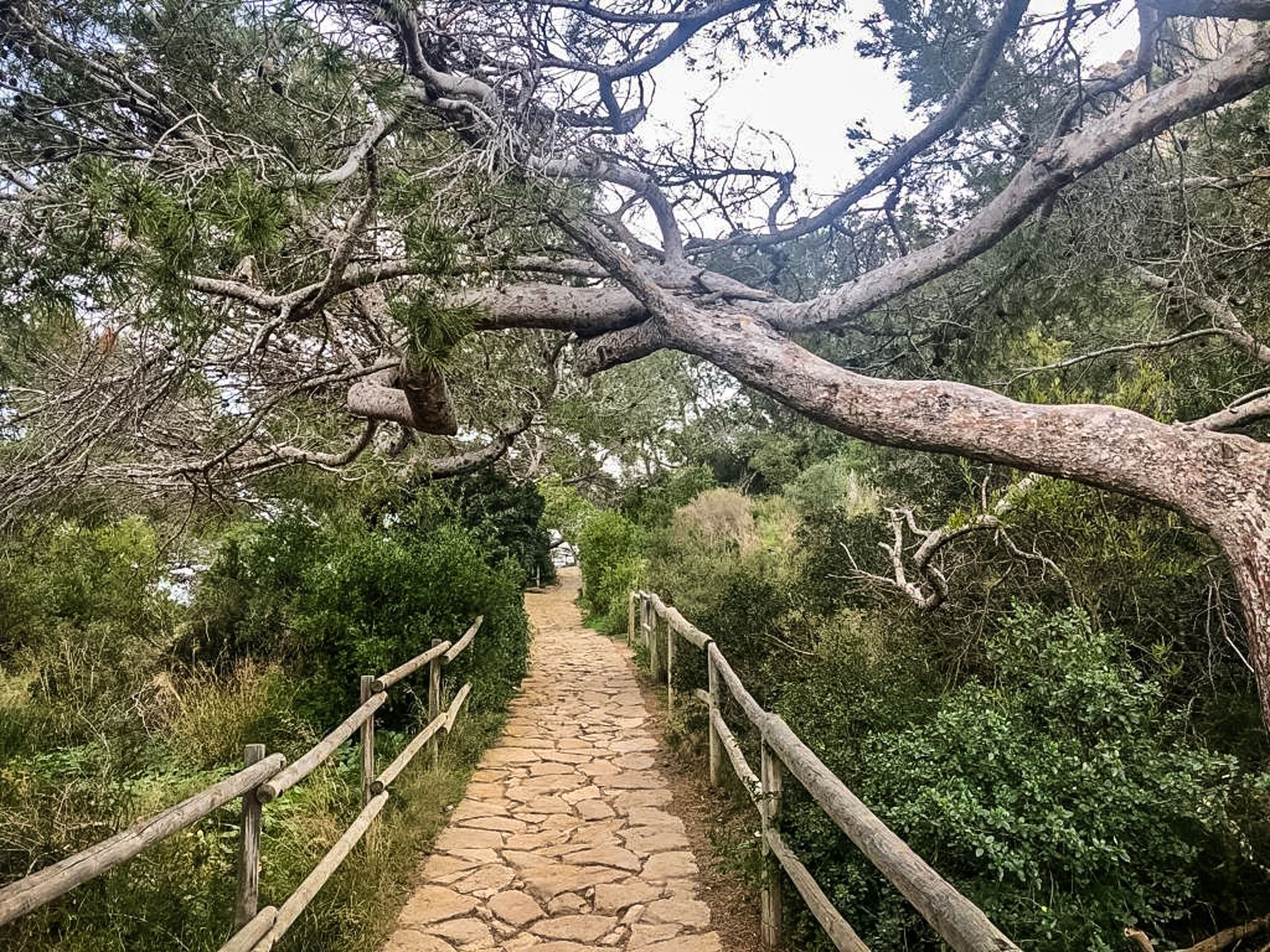
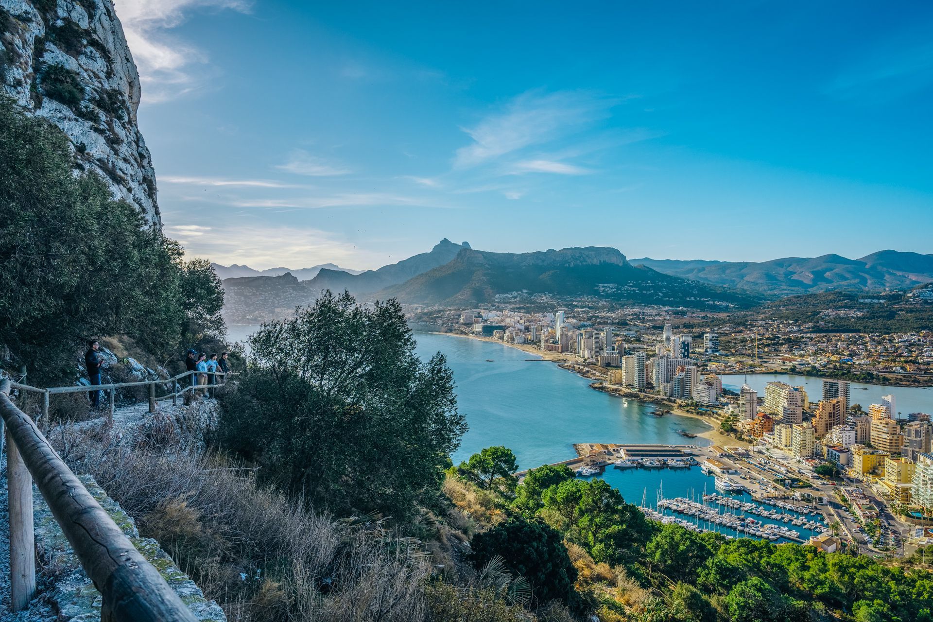
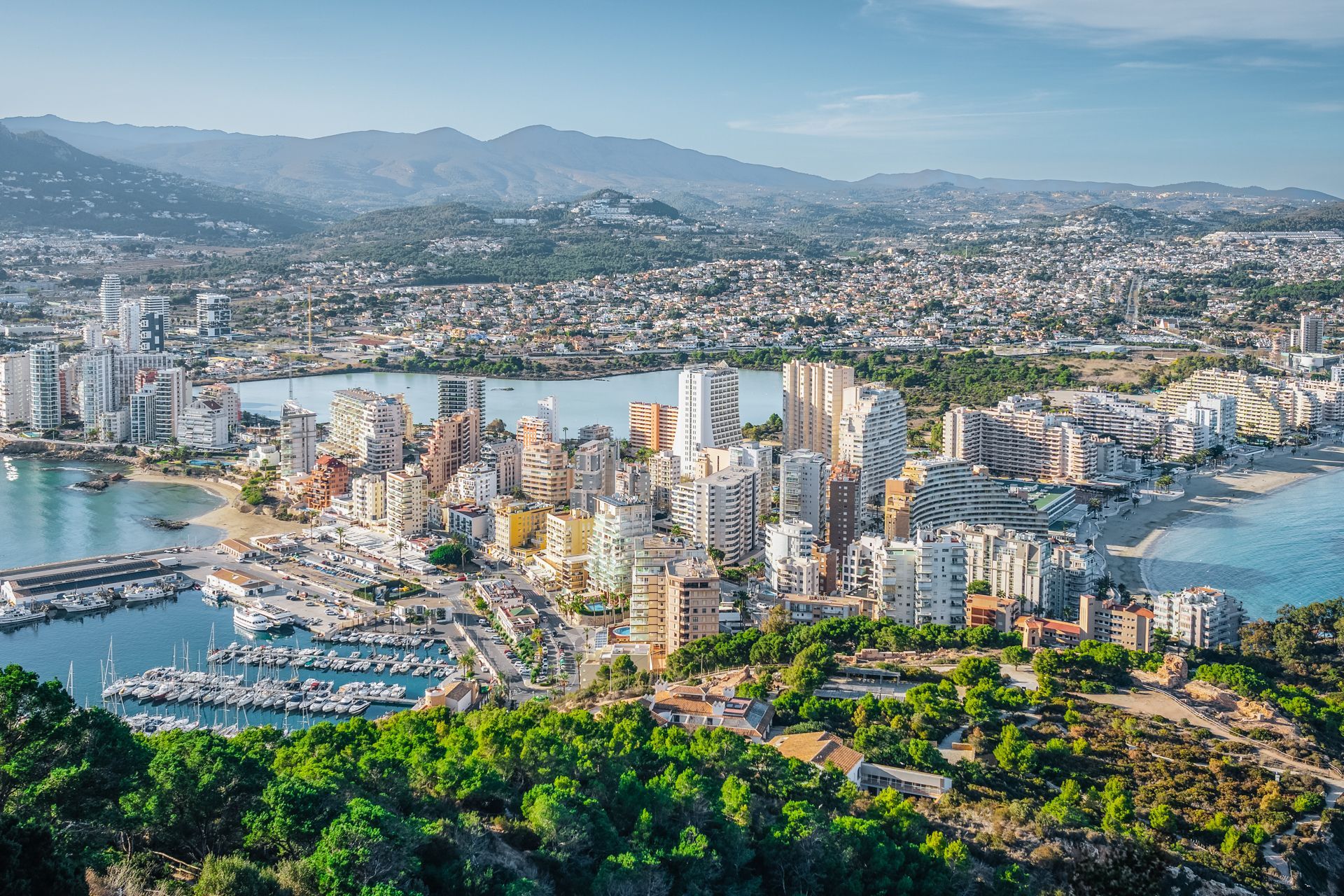
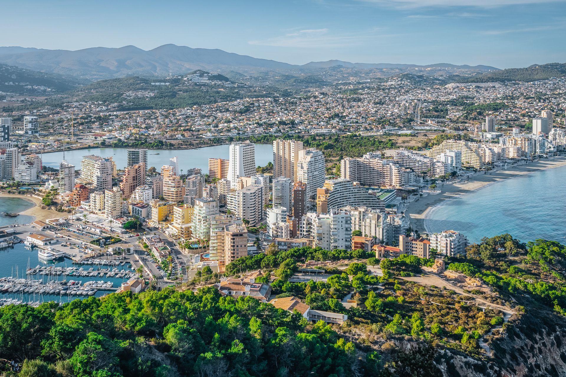
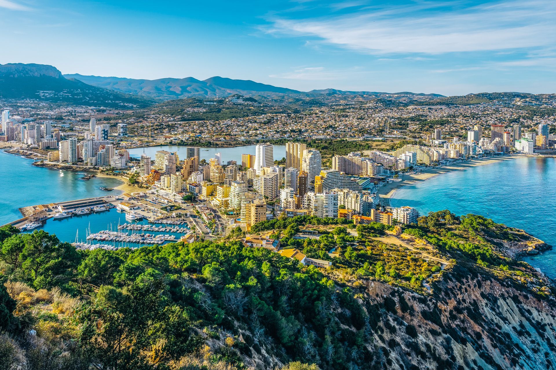
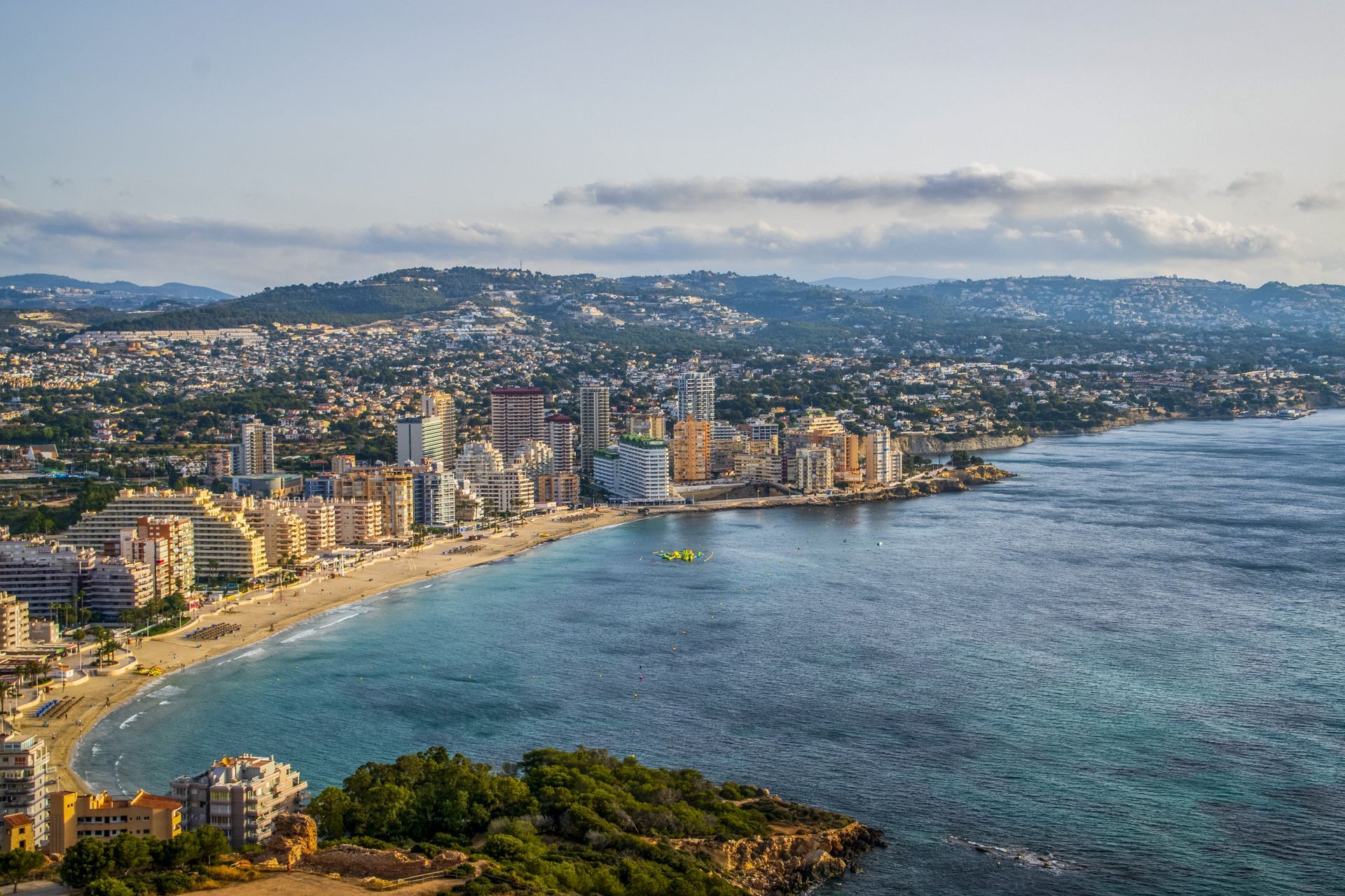
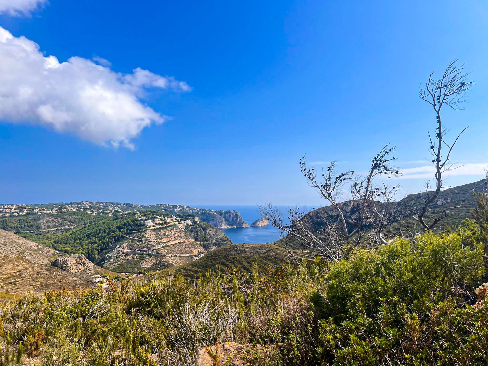
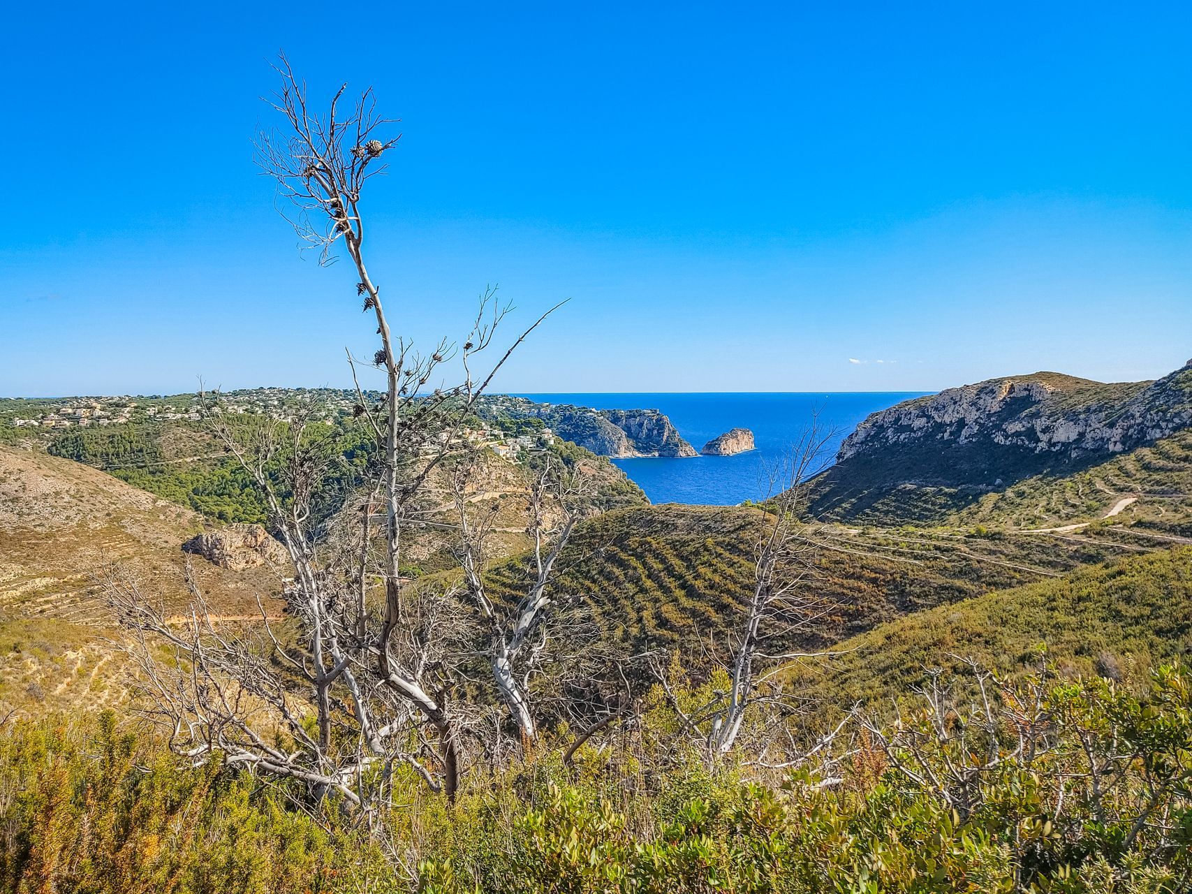
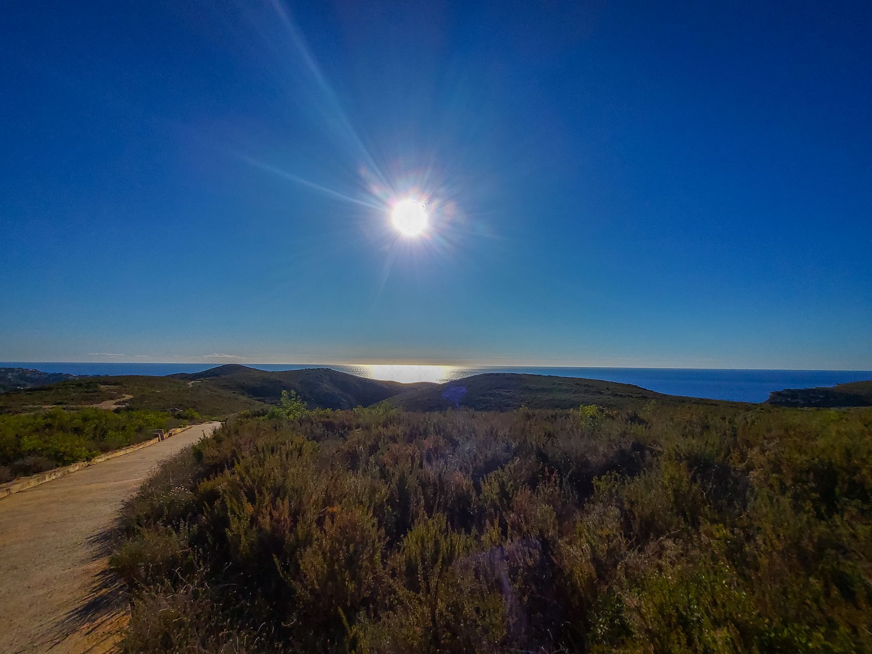
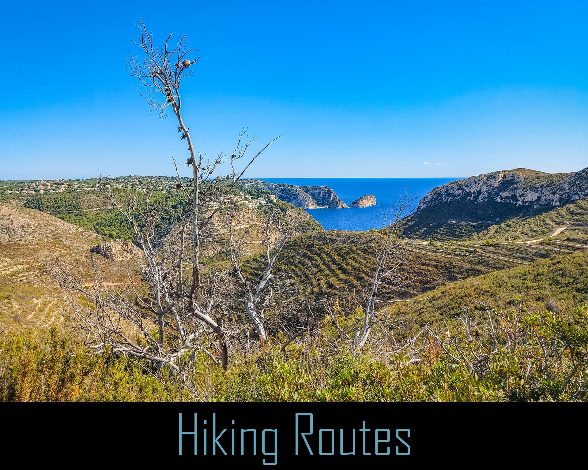
A shorter, but steep, hike leading to the Torre de Cap d'Or, an ancient watchtower offering incredible views over Moraira, the coastline, and the iconic Peñón de Ifach rock in nearby Calpe. It's a popular route for those seeking panoramic vistas.
Key Highlights of the El Cap d´Or Tower walk:
- Distance: About 2.5 kilometers up the mountain & down.
- Difficulty: Easy to moderate; the trail is short but includes some steep sections in the beginning.
- Duration: Approximately 1 to 1.5 hours for a round trip.
Location:
https://maps.app.goo.gl/TBZ8zve6iU2gdSyLA
Peñón de Ifach:
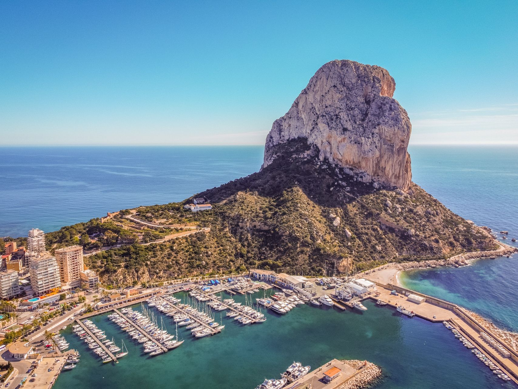
Though located in nearby Calpe, this iconic hike is a must-do. The route takes you up the massive limestone rock, which juts out into the sea. The trail can be challenging, especially near the summit, but the panoramic views over the Costa Blanca coastline are well worth the effort.
Key Highlights of the Penon Ifach hike:
- Distance: Approximately 5 kilometers round trip.
- Difficulty: Challenging, especially the second half, which is steep and rugged.
- Duration: 2 to 3 hours, depending on pace and stops.
Location:
https://maps.app.goo.gl/ajQH8zX63jwnctYx9
Parc Forestal de Granadella (PR-CV 354):
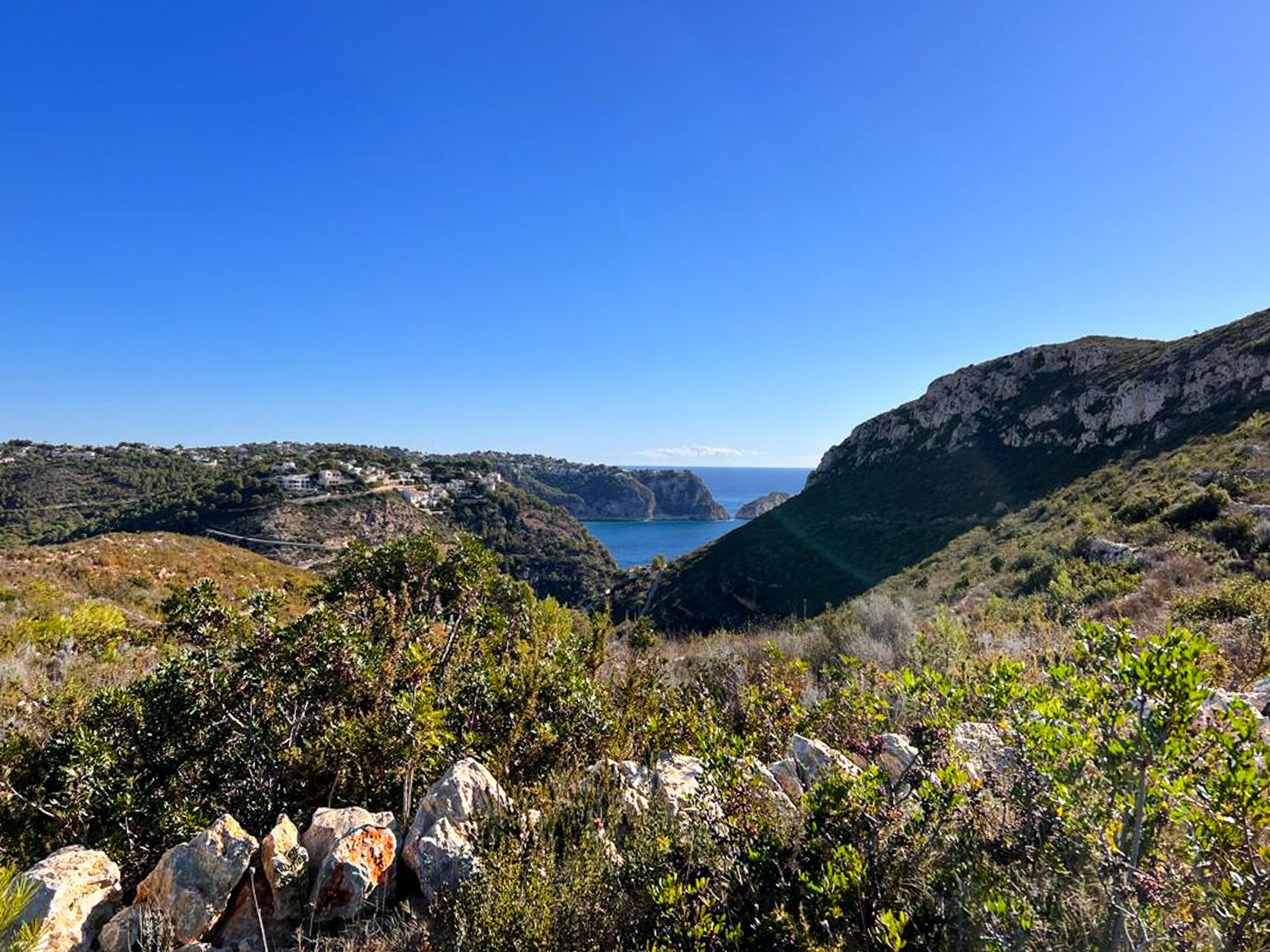
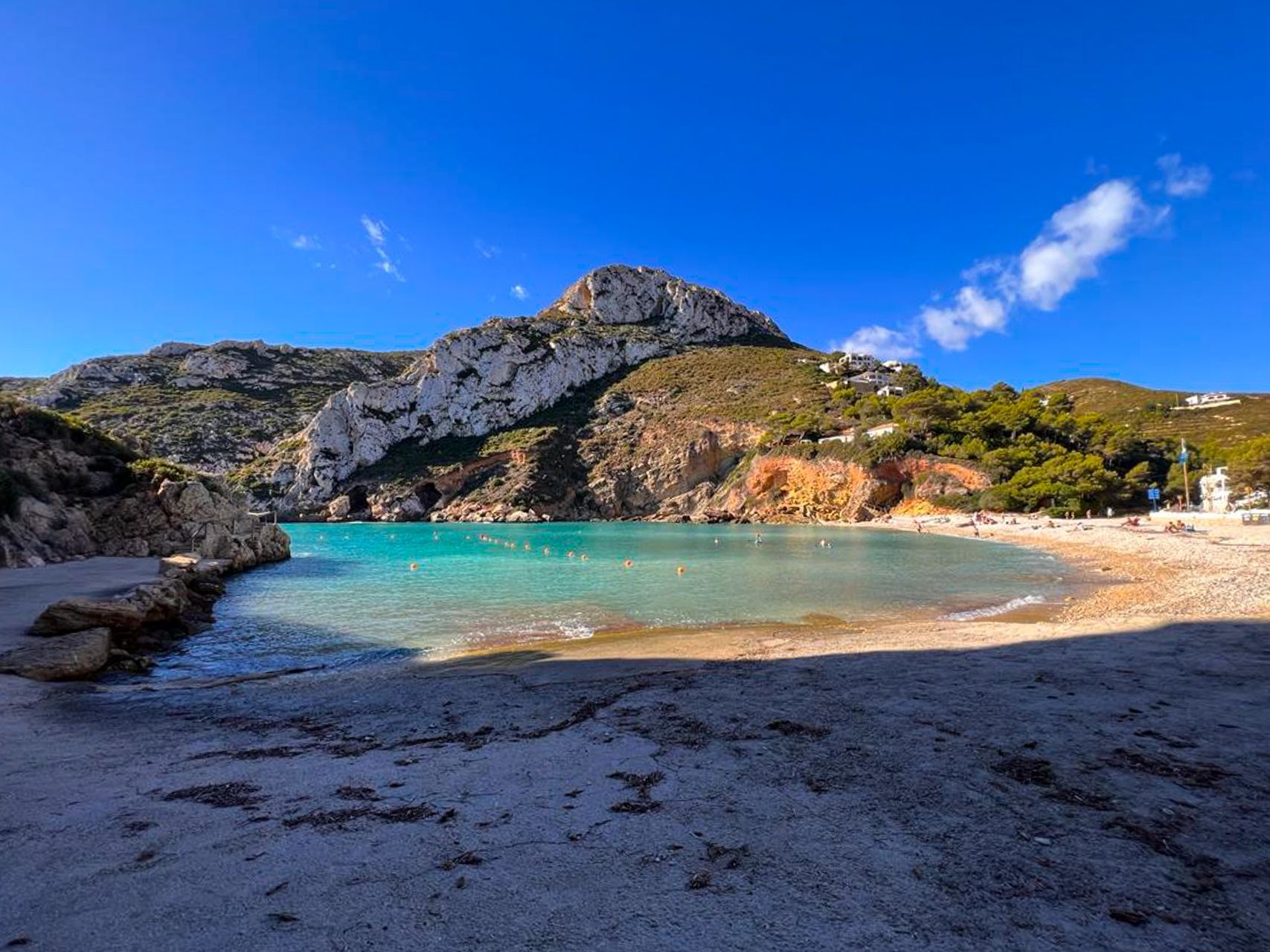
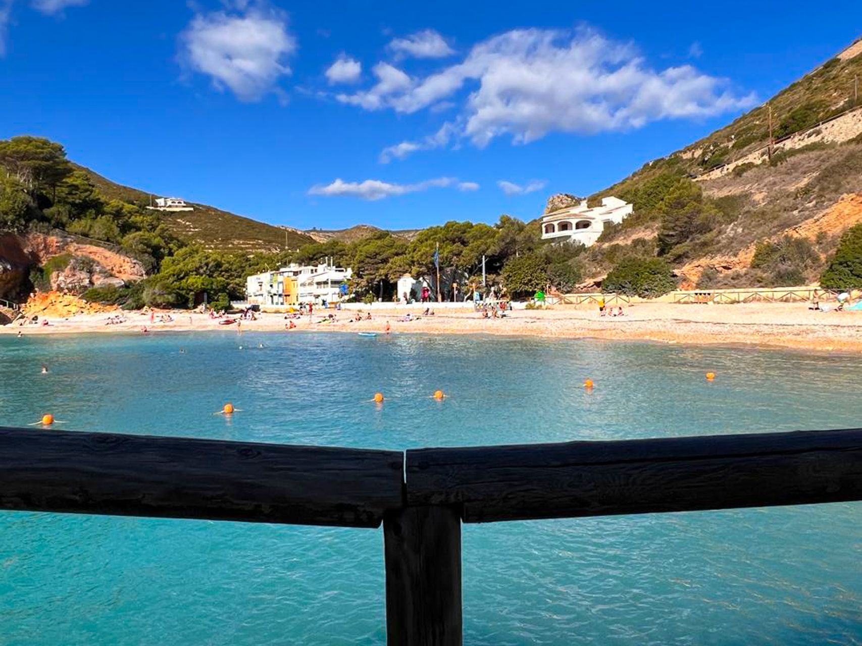
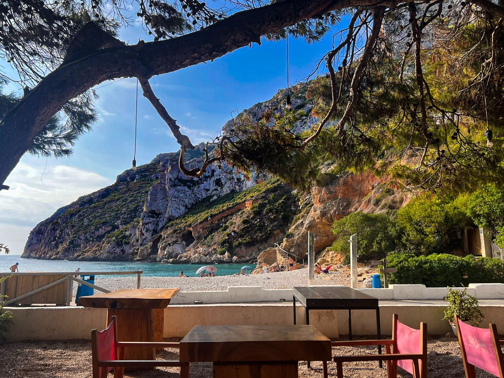
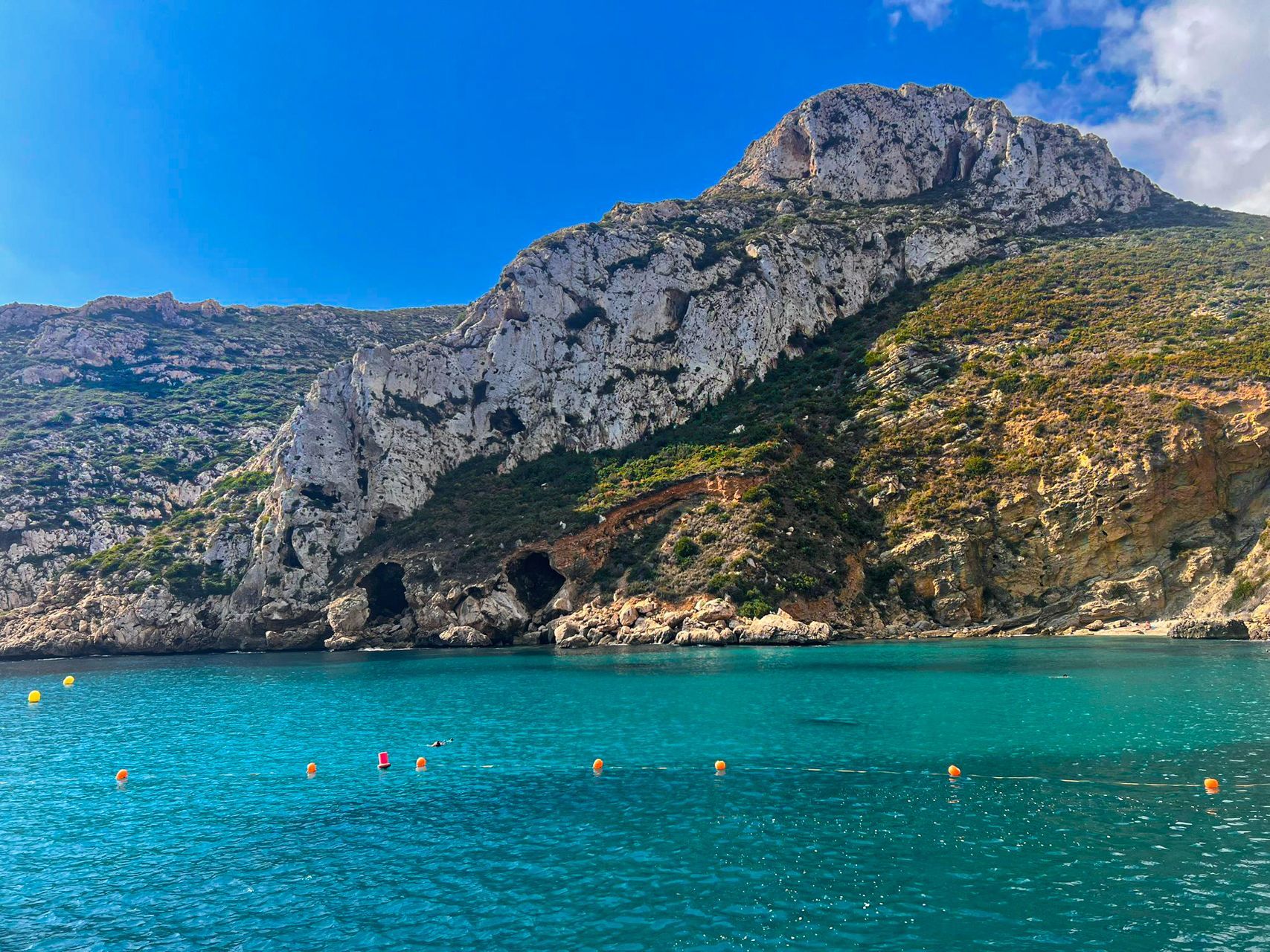
The Parc Forestal de la Granadella offers one of the most scenic and popular hiking routes in the region. Located between Moraira and Jávea, this natural park is renowned for its stunning coastal landscapes, Mediterranean forests, and crystal-clear waters. The Granadella Circular Route is a well-known trail within the park and is ideal for nature lovers and outdoor enthusiasts.
Key Highlights of the Granadella Circular Route:
- Distance: Around 6.5 to 7 kilometers (depending on variations).
- Difficulty: Moderate, with some steep sections and rocky terrain, making it suitable for regular hikers.
- Duration: Typically takes 2 to 3 hours to complete, depending on pace and stops.
Location:
https://maps.app.goo.gl/rHjNJp5HDgZSmzEx8
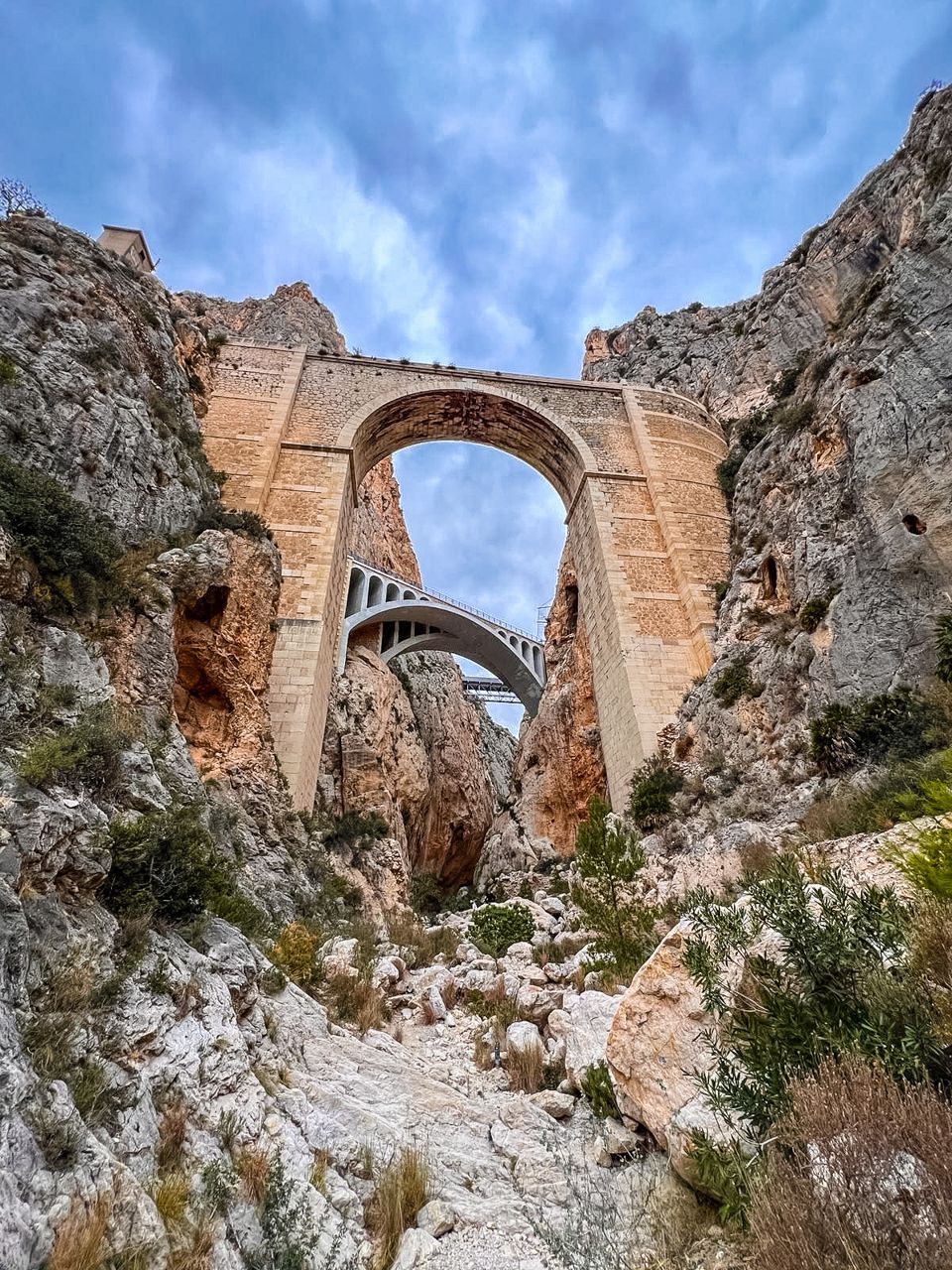
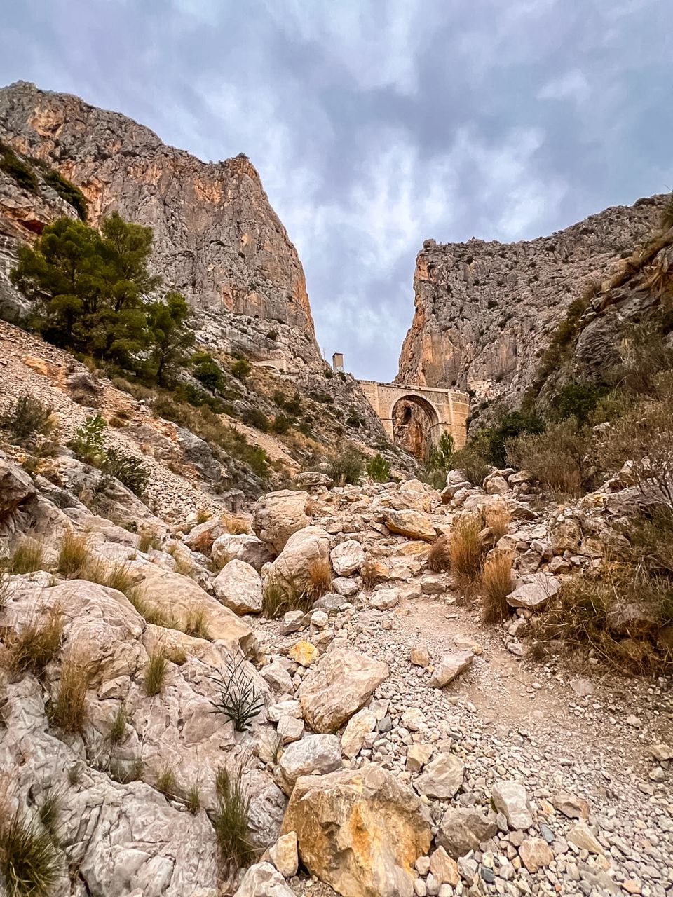
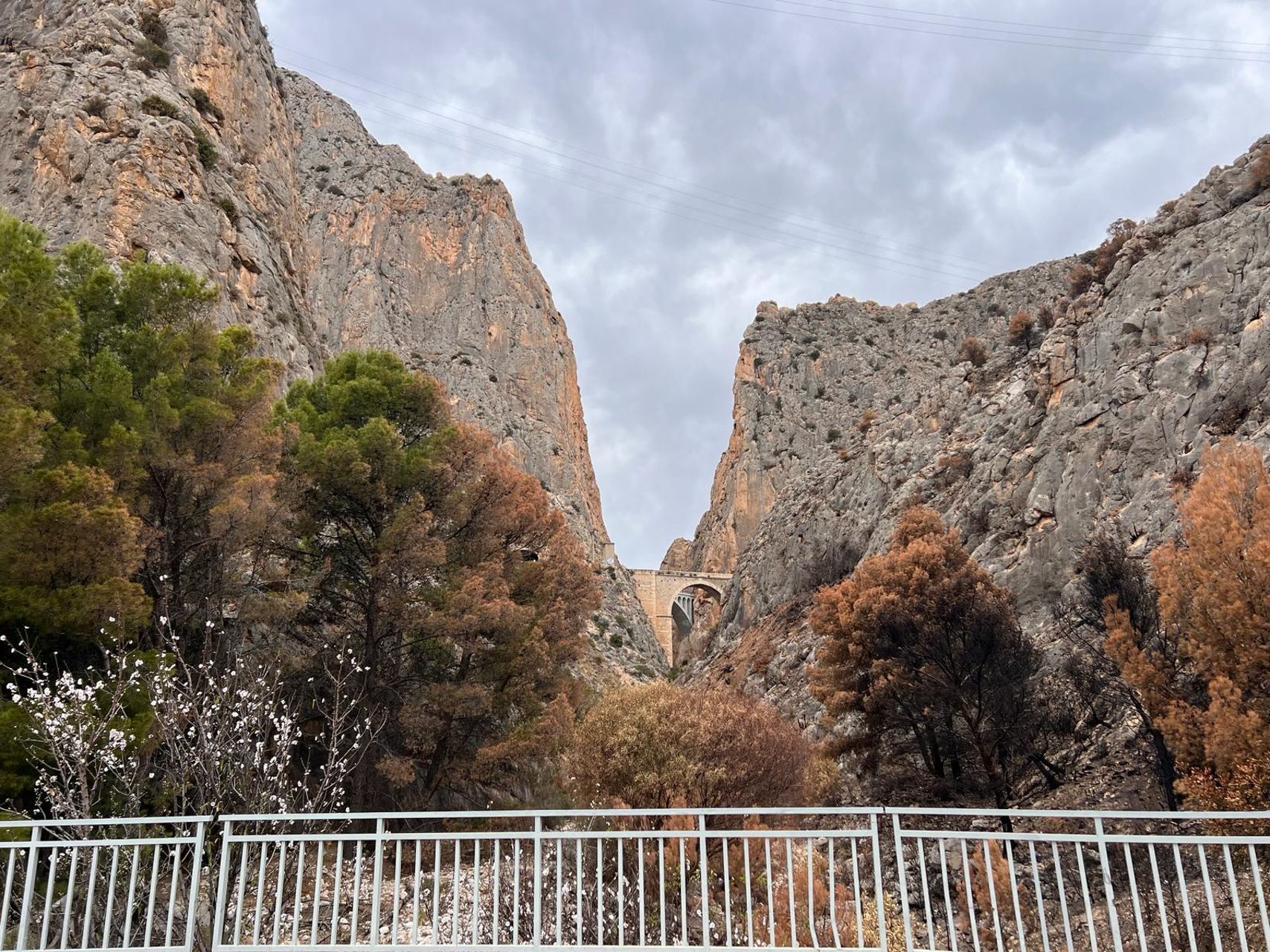
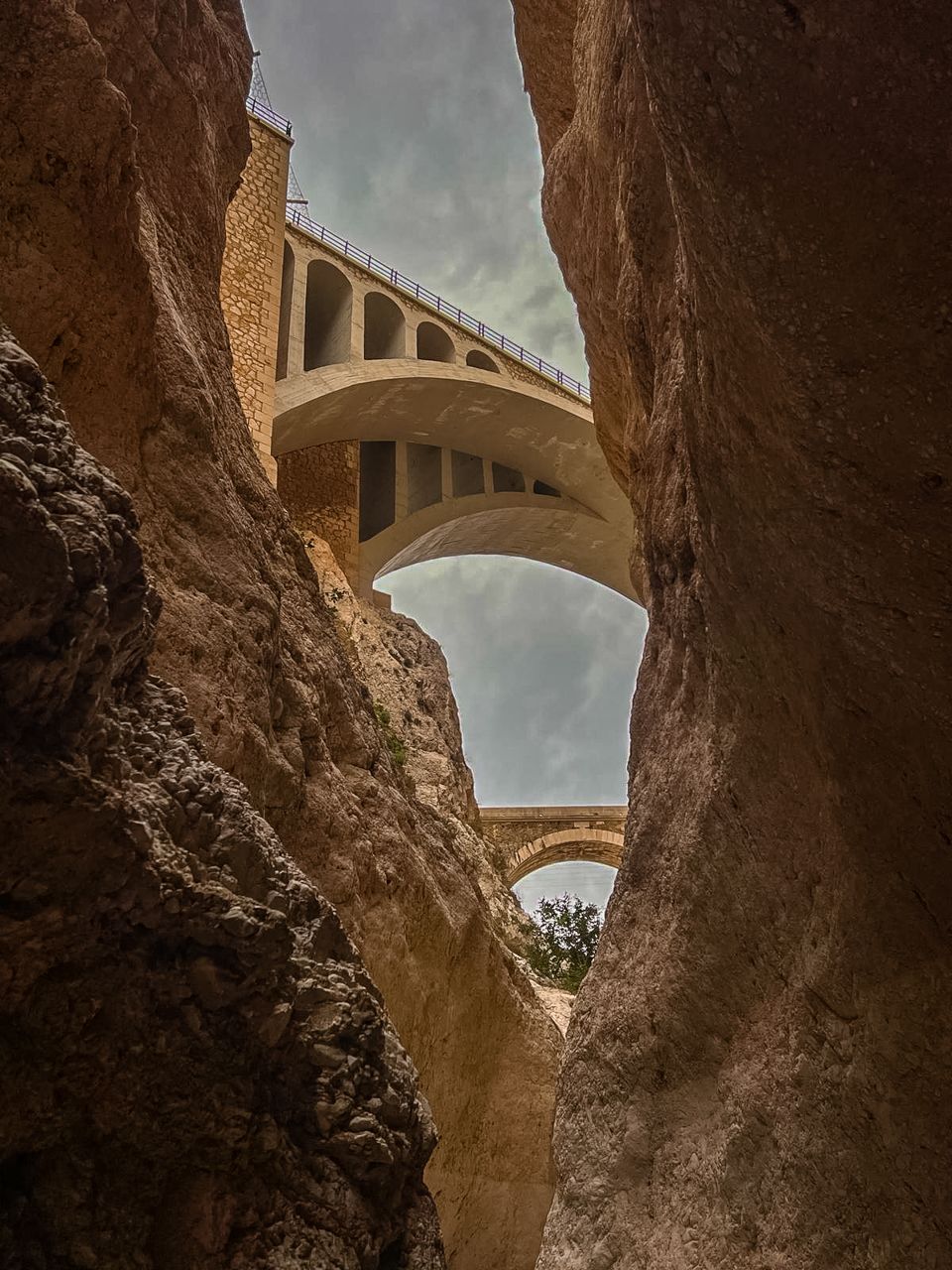
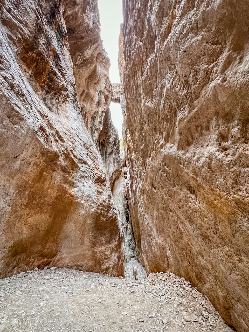
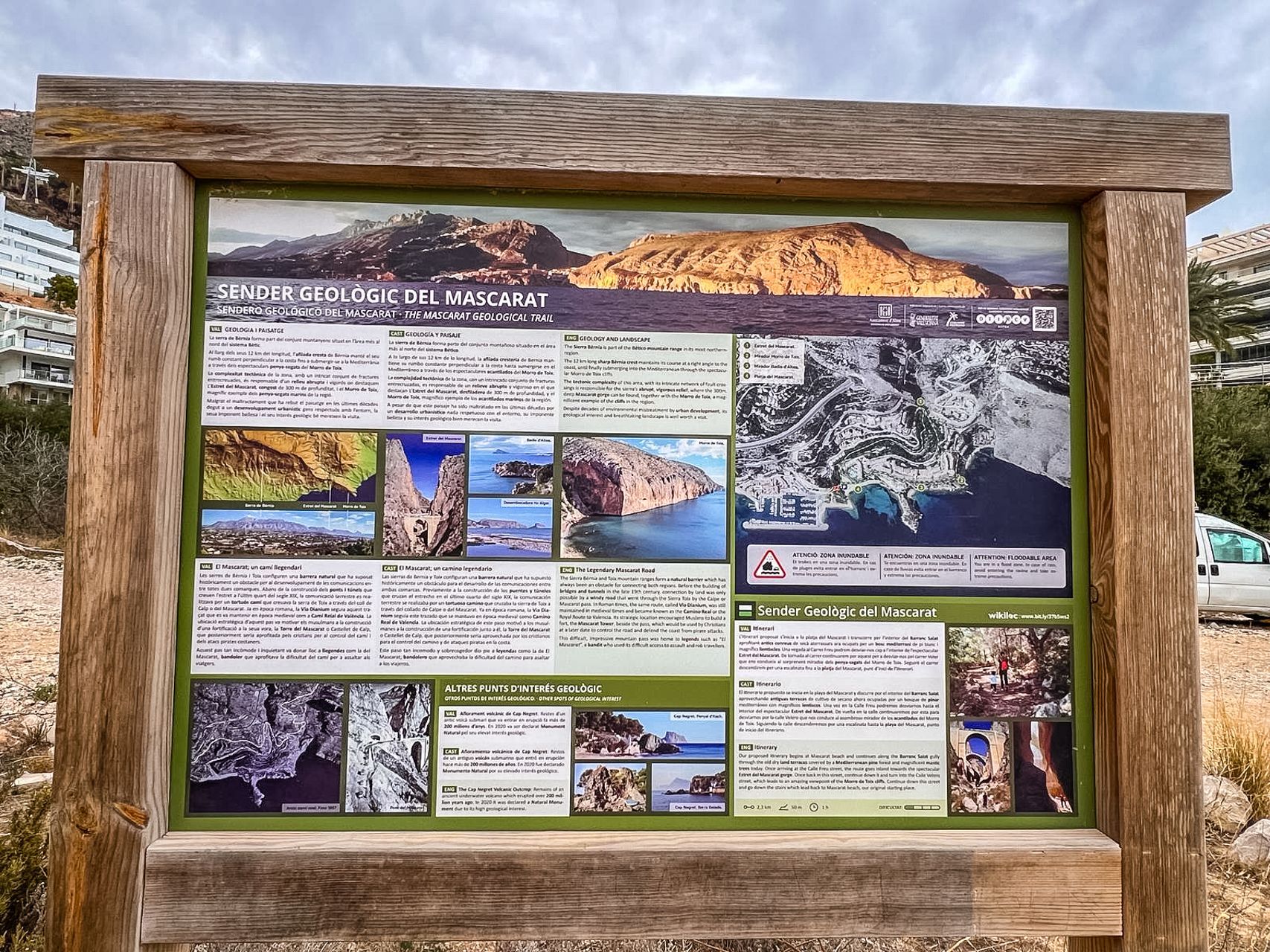
The Cañón del Mascarat Hike:
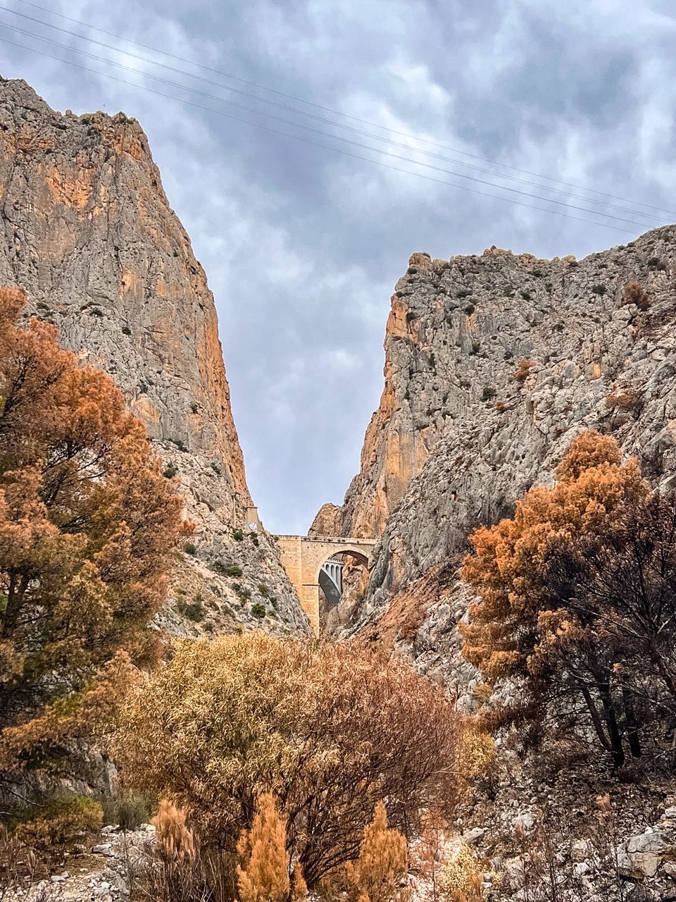
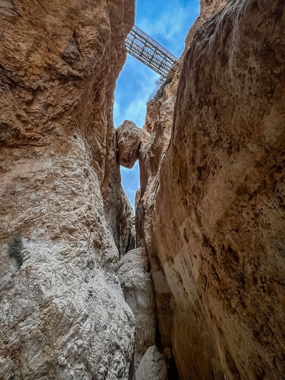
Located near Altea and Calpe on the Costa Blanca, is a thrilling and scenic hike that takes you through a dramatic canyon with steep cliffs, rock formations, and stunning views.
Key Highlights of the Cañón del Mascarat Hike:
- Distance: Approximately 4 kilometers round trip.
- Difficulty: Moderate, with some challenging sections involving steep paths and rocky terrain.
- Duration: Around 2 to 3 hours, depending on pace and exploration.
Location:
Cumbre del Sol to Cala Moraig:
This route takes you from the Cumbre del Sol residential area down to the picturesque Cala Moraig beach.
It’s a moderate hike that combines coastal paths and mountain views with the option to explore
the famous sea cave, Cova dels Arcs.
Key Highlights of the Cumbre del Sol walk:
- Distance: Approximately 5 kilometers round trip.
- Difficulty: Moderate, with some steep and rocky sections.
- Duration: 2 to 3 hours, depending on stops and exploration.
Cala Llebeig Trail (SL- CV50):
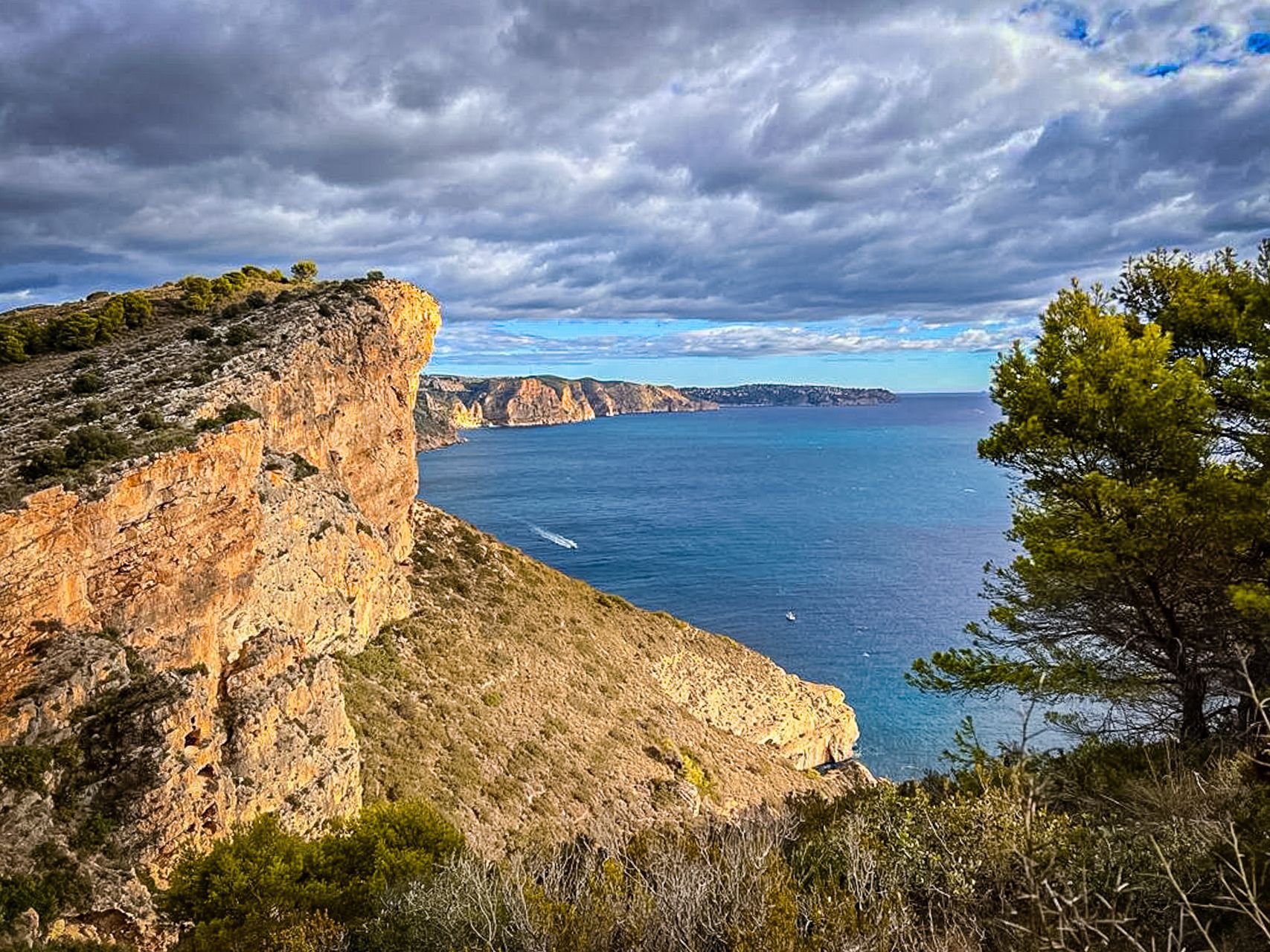
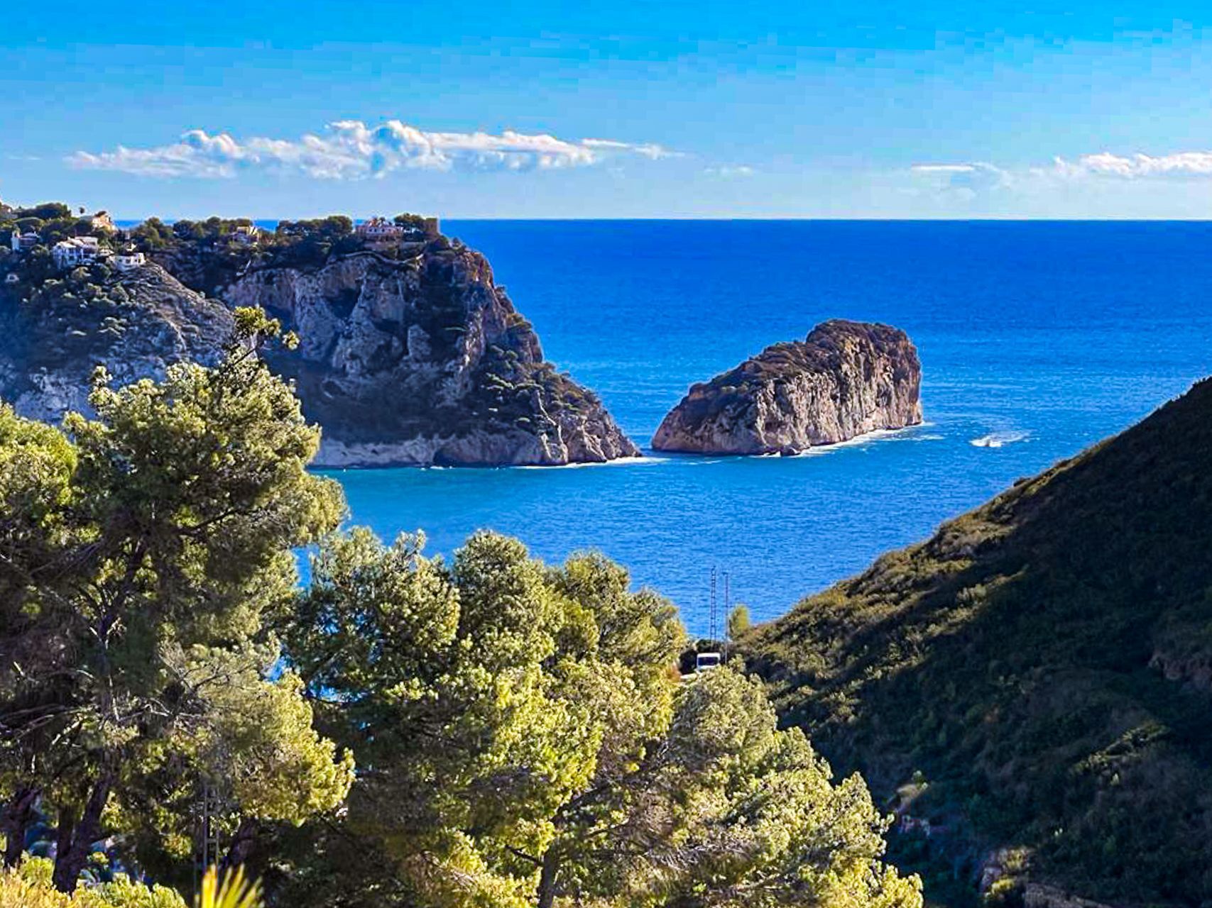
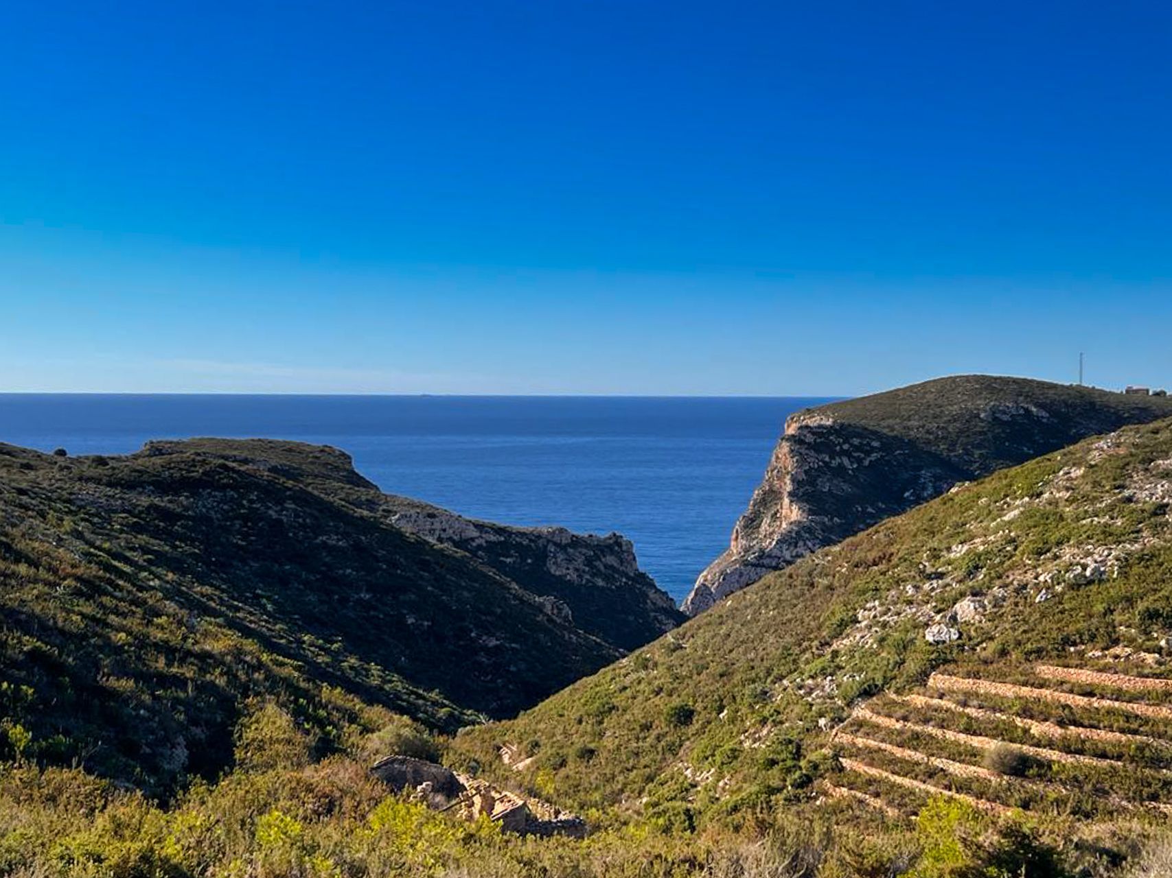
This coastal hike follows the cliffs between Moraira and the small cove of Cala Llebeig. It’s a moderately challenging route with breathtaking views of the sea, rugged cliffs, and secluded coves along the way.
Key Highlights of the Cala Llebig trail:
- Distance: Approximately 4 kilometers one-way (8 km round trip).
- Difficulty: Moderate, with some rocky and uneven paths along the cliffs.
- Duration: About 2 to 3 hours for a round trip, depending on pace and time spent at the coves.
Location:
https://maps.app.goo.gl/hiXPcRdA6Cqo4hTEA


